
Jim Garvin and Dan Slayback are two NASA scientists who have studied the volcanic island. They’ve relied on radar imaging satellites to do so, using a type of radar called synthetic aperture radar (SAR.) SAR can see through clouds, and can see at night, providing high-resolution images of the island. In 2018, Garvin, Slayback, and other scientists published a paper on their observations in the AGU journal Geophysical Letters.
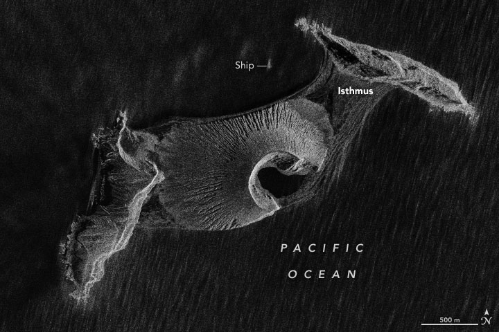 The paper is titled “Monitoring and Modeling the Rapid Evolution of Earth’s Newest Volcanic Island: Hunga Tonga Hunga Ha’apai (Tonga) Using High Spatial Resolution Satellite Observations.”