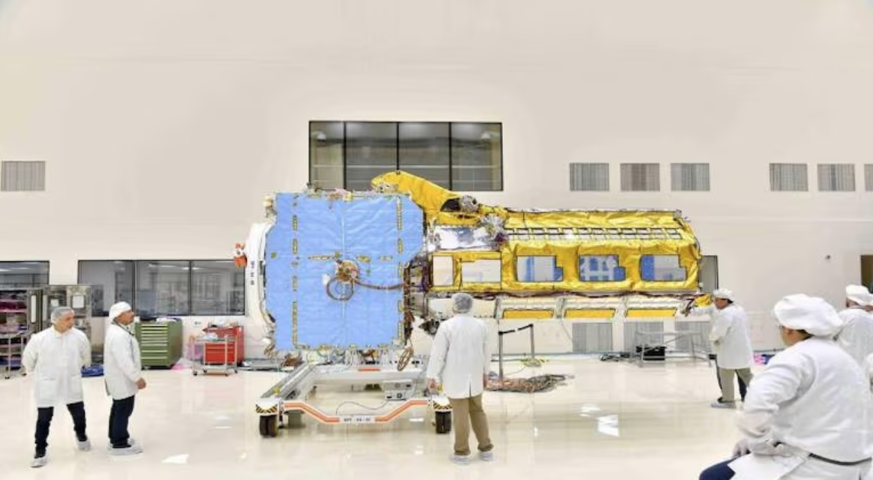
NASA-ISRO Synthetic Aperture Radar (NISAR) mission, a pioneering Earth-observing satellite built and developed jointly by the National Aeronautics and Space Administration (NASA) and the Indian Space Research Organisation (ISRO), is scheduled for an early 2024 launch. This innovative satellite aims to provide detailed insights into two types of ecosystems – forests and wetlands – vital to naturally regulating greenhouse gases in the atmosphere that are driving global climate change.
With a three-year mission duration, the satellite will globally monitor Earth’s land and ice-covered surfaces, conducting scans of all land and ice surfaces twice every 12 days to gather crucial data. NISAR’s radar, the first of its kind in space, will map Earth’s surface in extraordinary detail, measuring changes as minute as a centimeter, NASA said.
NISAR will serve as a critical tool for understanding ecosystem disturbances, ice-sheet collapse, natural hazards, earthquakes, volcanic eruptions, landslides, sea level rise, and groundwater changes. It will also enable researchers to study deforestation and glacier melt to gain significant knowledge about climate change.