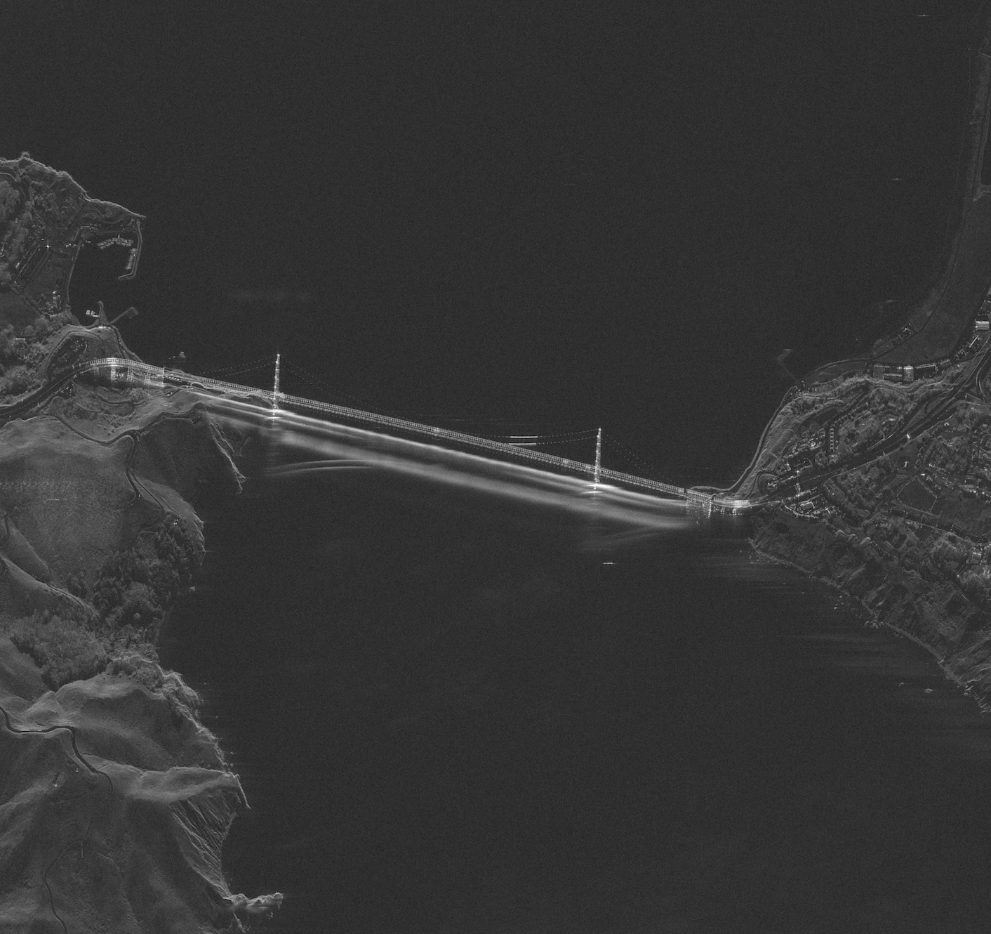
The UMBRA Open Data initiative revolutionizes Synthetic Aperture Radar technology, providing unprecedented access to high-quality SAR imagery.
In a development in the field of remote sensing, the UMBRA Open Data initiative has emerged as the world’s most comprehensive and advanced open Synthetic Aperture Radar (SAR) dataset. The dataset, available at https://registry.opendata.aws/umbra-open-data/, has surpassed all previous SAR data resources in terms of quality, accessibility, and coverage, marking a new era for scientific research and commercial applications.
The UMBRA Open Data project was launched with the primary goal of providing easy and open access to high-quality SAR imagery for users around the world. This level of accessibility has proven to be a game-changer, as it enables researchers, entrepreneurs, and governments to harness the power of SAR technology for various purposes, including environmental monitoring, disaster response, and urban planning.
One of the key factors that sets the UMBRA dataset apart from other open SAR data resources is the unprecedented quality and resolution of the images. With a spatial resolution of up to 0.25 meters, UMBRA’s SAR data enables users to analyze even the most minute details of their target areas. This level of precision, combined with the dataset’s extensive geographical coverage, makes UMBRA an invaluable resource for a wide array of applications.
Another notable feature of the UMBRA Open Data initiative is its commitment to providing regularly updated imagery. As a result, users can access near real-time information on rapidly changing environments, such as monitoring deforestation, natural disasters, or infrastructure development. This constant influx of fresh data ensures that the dataset remains relevant and valuable for current and future applications.
The UMBRA dataset has already gained significant attention from both the public and private sectors. Numerous research institutions, government agencies, and commercial entities have begun leveraging this data to support their respective projects and operations. For example, disaster relief organizations are using the SAR data to effectively plan and coordinate their response efforts, while environmental researchers are utilizing the imagery to monitor the impact of climate change on ecosystems around the world.
By providing open access to such high-quality SAR data, the UMBRA Open Data initiative is breaking down barriers that once limited the use of this powerful technology. As more users embrace the potential of UMBRA’s dataset, the global community is poised to benefit from the countless applications and insights it has to offer.
For more information on the UMBRA Open Data initiative and to access the dataset, visit https://registry.opendata.aws/umbra-open-data/.

