Ursa Provides Information for those Affected by Hurricane Harvey
Posted on August 27, 2017 by Zack Downey
With images furnished by e-GEOS (an ASI/Telespazio Company ), Ursa is monitoring areas affected by Hurricane Harvey. Due to the heavy cloud cover from the hurricane, optical satellites are unable to penetrate the areas to capture information about ground conditions. It is also difficult for airborne sensors to obtain information, due to the high wind conditions. Ursa analyzes satellite-based radar, which can get information through cloud cover or at night, to get insight into the extent of flooding.

Through Ursa’s agreement with e-GEOS, e-GEOS is monitoring Hurricane Harvey and providing images from the Italian constellation, COSMO-SkyMed, of radar satellites. Ursa is using the imagery to provide information about flooding that will be updated frequently on this page.
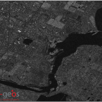
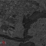
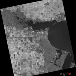
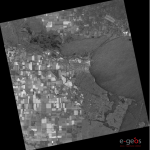
Ursa obtained an image from e-GEOS on 8/26/2017 at 1210 UTC (7am local time) of Corpus Christi, and is monitoring other locations.
Below is a footprint of the area that was captured the morning of 8/26/17, as the storm was underway:
The following images are side-by-side comparisons.
In the satellite radar image on the above right (from 8-26-17), you can see the rough water that was taken as the powerful storm was underway.
For the near term, there is predicted flooding along the Texas Gulf Coast. With support from our partners at e-GEOS, Ursa will continue to analyze the satellite imagery and update our website.


Your welcome to join with this program, You can double your BITCOIN in just 24 hours without any problems. Minimum is only 0.001BTC, Our Company Is Legit.
Visit link
https://earn2xcoin.com
Thanks a lot